Professional Drone Aerial Survey
Metricon provides drone aerial survey and inspection within the property, infrastructure construction and monitoring and renewable and natural resources markets using the latest UAVs ,aerial mapping technology and data analysis. our drone services help clients with quick turnaround in projects and save budgets.
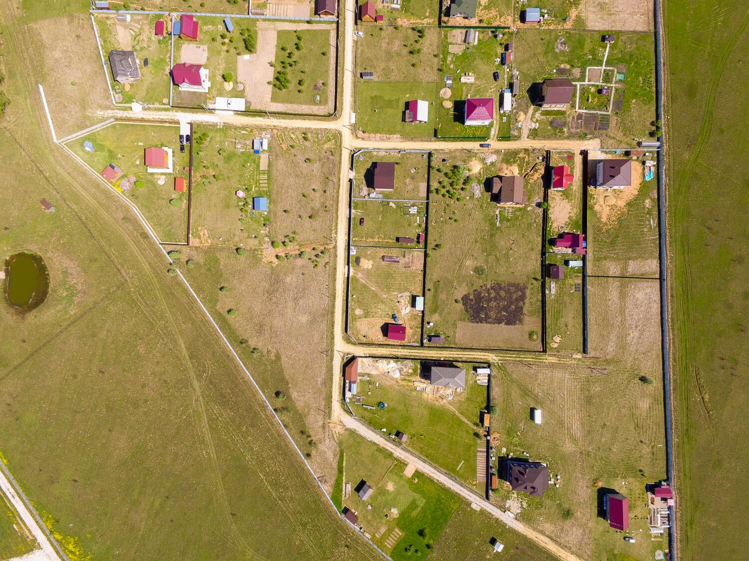
Our Unmanned Aerial Vehicles (UAV) mapping surveys provides outputs for 3D data and orthophotos imagery useful for engineering feasibility studies & design, bulk earthworks quantities, feasibility planning, construction progress reporting, assets inspections and ground settlements.
We integrate professional surveying and photogrammetry principles in all aerial mapping and data processing tasks.
DRONE TECHNOLOGY IN ENGINEERING & CONSTRUCTION SECTOR
We provide Unmanned Aerial Vehicles (UAV) mapping surveys for 3D data and orthophotos imagery, bulk earthworks quantities, feasibility planning, progress reporting and ground settlements.
We design data collection processes that ensure projects are meeting targets and measuring their successes. We also help develop knowledge management tools and products to support project outcomes. Our clients rely on us to efficiently design, implement, evaluate and disseminate results from our research and evaluations to enable them to communicate their successes and challenges to key stakeholders.
DRONE CONSULTANCY SERVICES
Our services are motivated by learning and evidence-based decision making and aided by data visualisation and communications products.
Where We use Drones
Need Help?
Please Feel Free To Contact Us. We Will Get Back To You With 1-2 Business Days.
info@metricon-group.com
+254-733-515766
Download
Company White Paper
1.30 MB
Company Media Kit
1.22 MB
Drone images capture current status of a project site to support project project managers and teams understand project progress of particularly for linear projects such as highway construction, railway line ,water pipelines e.t.c. By collecting high-resolution images and videos, drone allows surveyors and mappers to create 3D models, orthophotos providing better control over the work progress and the clients with most recent visual information.Drone surveys support construction activities ensure;
- Tracking development and progress on a regular basis
- Comprehensive safety inspections and quality assurance during various works
- Turning data into 3D models to provide construction teams realistic progress and assessments of project.
- Creating as-built capture and CAD overlays for quality compliance with design alignments.
By adopting accurate aerial photogrammetry techniques, large areas can be scanned and measured accurately in short span of time.We adopt professional data processing workflows that rapidly generate volumes and for cuts and fills thus , helping track cut and fill volumes for earthworks projects.
Drone team can fly the construction areas multiple times to help accurately determine excavated materials at various phases of construction.
3D views excavated profiles and volumes reports can be generated faster compared to tradition surveys.
Utilities companies can are adopt advanced technological tools for monitoring transmission systems, collect data via mobile and automated aerial devices. For instance, LiDAR technology eliminates the need for physical visits to tower sites. The LiDAR data offers a fast turnaround time from collection to delivery, and the ability to accurately map terrain and deliver high resolution images of towers.
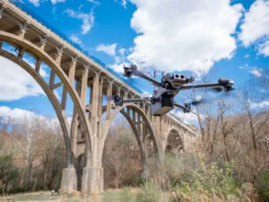
Drone are a great alternatives for infrastructure and assets inspections with increase benefits in safety, reduced work-time and labour costs, unlimited access to sites, accurate data and simplified workflows. Some of the key application for drone is includes;
- Powerline corridor and transmission line inspections
- Vegetation management
- Faults inspection

- Roads, dams and bridge inspections

