Quick Contact
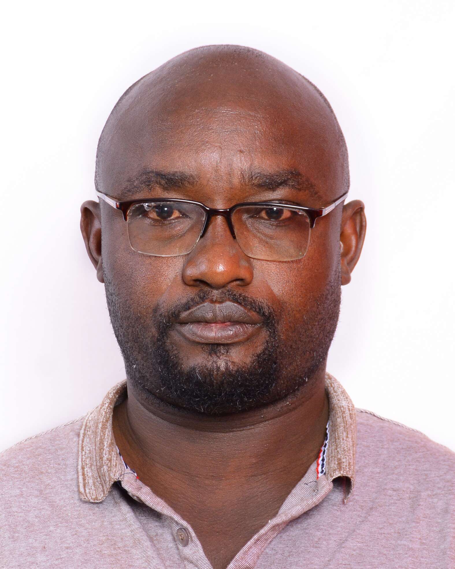
[rt_cf7_style submit_background_color=”#ee5f18″ submit_hover_color=”#273272″ submit_text_color=”#ffffff” submit_text_hover_color=”#ffffff” radiant_font_color=”#717171″ radius_top=”” radius_right=”” radius_bottom=”” radius_left=”” padding_right=”10px” padding_left=”10px” radiant_border_style=”solid” radiant_border_color=”#e6e6e6″ radiant_border_top=”1px” radiant_border_right=”1px” radiant_border_bottom=”1px” radiant_border_left=”1px” radiant_font_focus_color=”#161616″ radiant_background_focus_color=”#ffffff” radiant_focus_style=”solid” radiant_focus_color=”#273272″ radiant_focus_top=”1px” radiant_focus_right=”1px” radiant_focus_bottom=”1px” radiant_focus_left=”3px” radiant_extra_class=”service-form” cf7_content_css=”.vc_custom_1529314554091{margin-right: 0px !important;margin-left: 0px !important;padding-right: 0px !important;padding-left: 0px !important;}”][contact-form-7 id=”318″][/rt_cf7_style]Ernest Ndugah
CEO/Principal Consultant (254) 733-515766 endugah@metricon-group.com

Biography
An experienced Geospatial Engineering Consultant and Techpreneur keen on Wider Geospatial Engineering technology fields : GIS ,Digital mapping ,Land and Engineering Surveying, Capacity building on geospatial technology ,Geospatial projects management, GIS applications development, GNSS technology for engineering projects,Infrastructure Development Surveys ,UAV aerial surveying,3D terrestrial scanning for AEC industries, Web GIS programming and workflow integration,Remotely Sensed data solutions and building geo-tech driven solutions that power organisations with locational centric decisions needs across businesses..
Ernest is has a academic background in Geomatics Engineering,(BSc), Environmental Information Systems(Msc), Geotechnical Engineering an Foundations(Msc), Licensed Drone/UAV Operator, Class B-Hydrographic Surveyor and Member of Institution of Surveyor of Kenya..
Areas of Expertise
2016-Present
Managing Director and Pricipal Consultant
2014-2015
Geomatics Engineer-Surveyor &GIS Expert, Batch Associates Consulting Engineers.
2009-2014
Team Leader, Software Design and Development, Asus
Education
- Msc, GIS & Environmental Information Systems, JKUAT
- MSc, Geotechnical engineering& Foundations, Technical University of Denmark
- BSc, Geomatics Engineering & GIS, JKUAT
- Licensed RPL Operator, KCAA
- Hydrographic Surveyor,Cat-B Training, Skilltrade A.B(ongoing)