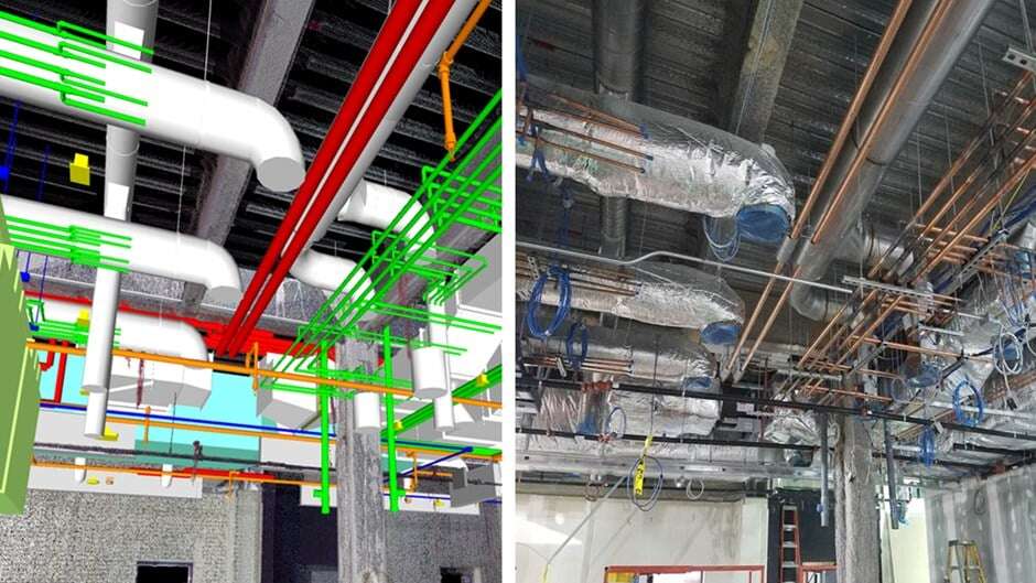
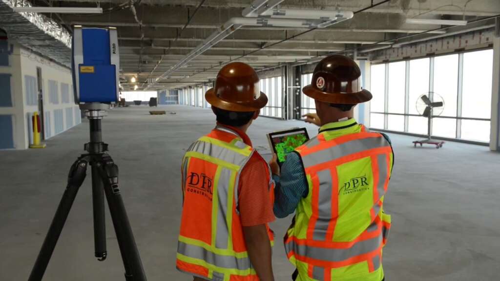
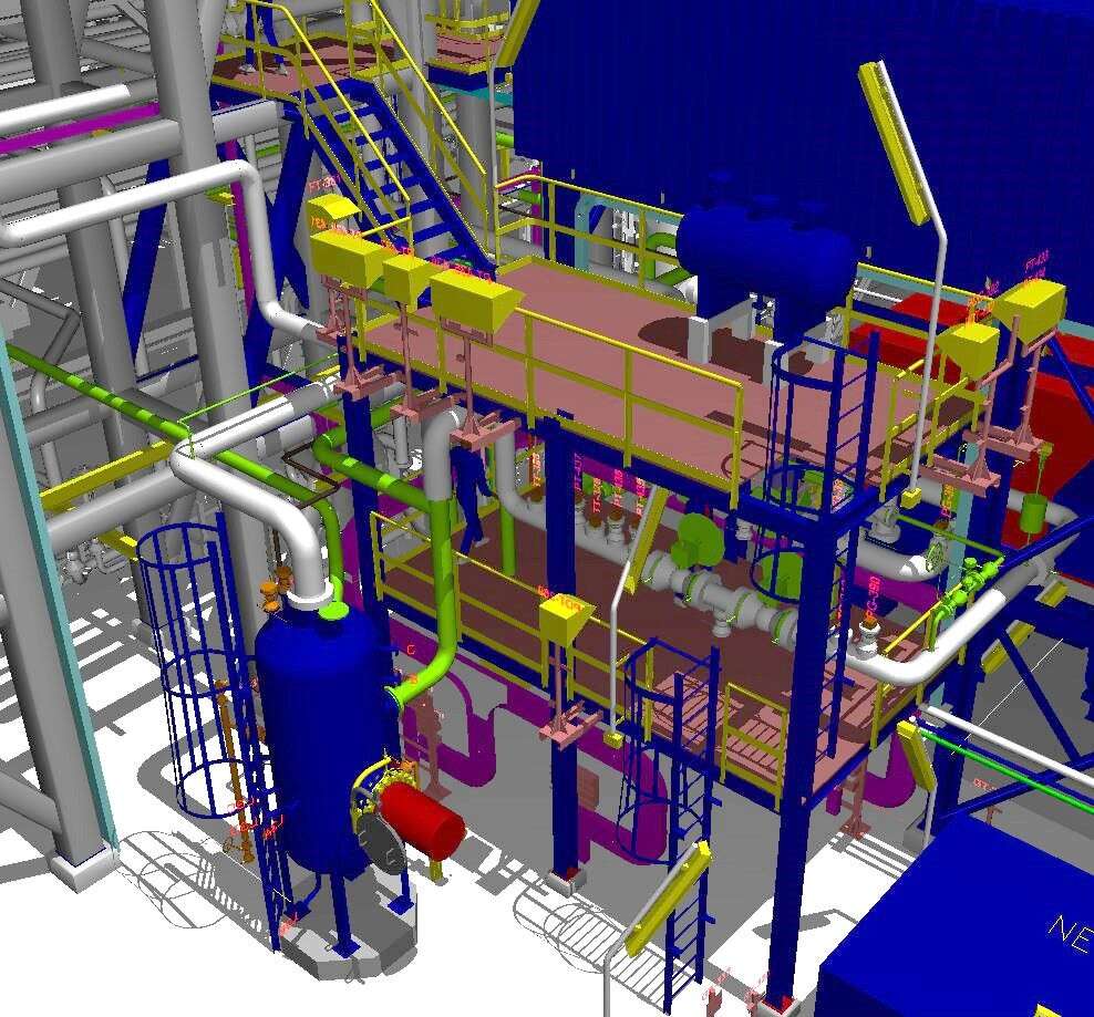
3D Laser scanning-How is it key to the AEC industry
3D scanning and mapping is an essential component of architecture, engineering, and building, from the design stage to the inspection stage. Our terrestrial scanning services can save you hundreds of hours in wasted planning and work.
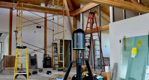
3D laser scanning, also known as high-definition surveying or reality capture is a method of collecting extremely fine and accurate data about a construction site using laser rays. A laser beam assesses the structure’s numerous dimensions, including the length, width, and height of the building components, as well as their connections to one another


